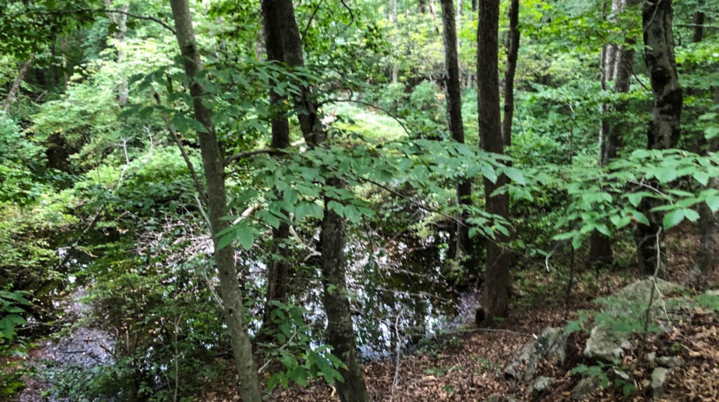
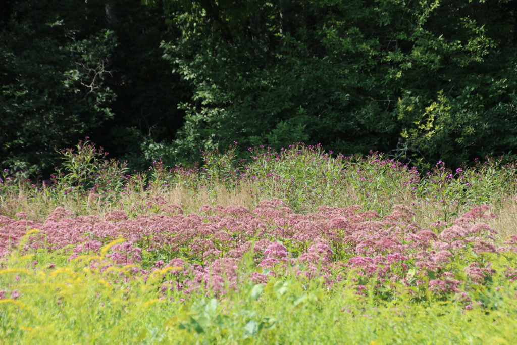
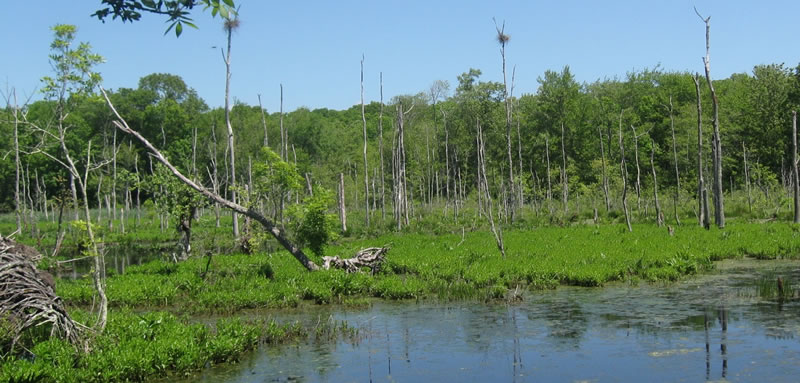
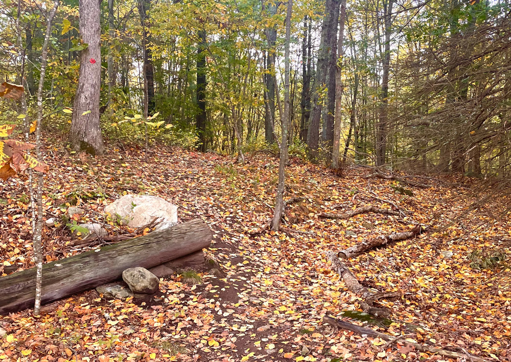
skip to Main Content

“Know before you go” with our listing of every trail on each Avalonia preserve, along with difficulty levels, mileage, terrain, photos, and detailed descriptions of what to expect.  Find the hike that is right for you.

The following preserves are trailed and include maps and more details. Jump to town or scroll to browse all.

Griswold

griswoldDutka Nature Preserve

This property provides excellent upland habitat for native raptors, owls, turkey, insectivorous birds and songbirds. preserve details / trail map

Groton

moore-woodlandsMoore Woodlands

The Moore Woodlands are off of Judson Ave. and Capstan Ave. and have hiking trails that connect with the Beebe Pond Loop Trail. preserve details / trail map

towns-end-headerTown’s End

Mature, mixed hardwood forest with a narrow tidal marsh extending 900 feet along the edge of Beebe Cove. preserve details / trail map

Leo Antonino Preserve

The Leo Antonino Preserve is off of Route 184 and provides a lovely respite from the commercialization in the area. preserve details / trail map

Ledyard

Atkinson Family Preserve/Thompson Brook Preserve

The Atkinson Family Preserve/Thompson Brook Preserve consists of two acquisitions on opposite sides of Long Cove Rd. in the Gales Ferry section of Ledyard, for a combined size of 228 acres. preserve details / trail map

Avery Preserve

Located on both sides of Avery Hill Road, 0.75 mile north of Route 214. preserve details / trail map

Barrett Preserve

Open field, mature upland forest with laurel stands, towering tulip trees, rock ledges and intermittent streams. preserve details / trail map

Pike Marshall Preserve

Trails have been in existence upon acquisition by The Nature Conservancy of the first tracts in 1969 and accommodate walkers, bikers, runners and horseback riding. preserve details / trail map

pineswampheaderPine Swamp Wildlife Corridor

Protects one of southeastern Connecticut’s major aquifers and comprises three major tracts with multiple sub-tracts. preserve details / trail map

Samuel Lamb and Forsberg Preserve

Six-acre parcel of very diverse habitat. preserve details

North Stonington

babcockridgeBabcock Ridge

Sloping , rocky uplands , high ridge vistas. Intermittent wetlands and vernal pool. Loop trail. preserve details / trail map

Benedict Benson Preserve

This 94 acre parcel is just a small portion of a very large and intact mature forest block known for its excellent birding opportunities. The area is rugged and rocky with great outcrops, formations, glacial erratics and stone walls. preserve details / trail map

Bell Cedar Swamp

Bell Cedar Swamp offers a truly beautiful hike that allows you to become one with nature. preserve details / trail map

henne-headerD.R. Henne Memorial & Shunock Brook Preserves

Linked to Erisman Woodlands via Babcock Ridge, the Donald Henne Memorial Tract of the Shunock River Preserve together forms approximately 220 acres. preserve details / trail map

erismanwoodlandsErisman Woodlands

Mostly upland woods with loop trail crossing stream and heading up to Babcock Ridge shared border and connecting trail. preserve details / trail map

reedpreserveheaderMitchell Preserve & Reed Woodlands

Six contiguous properties extending between Preston and North Stonington. Approximately 2.5 miles of hiking trails. preserve details / trail map

Parke Memorial PreserveParke Memorial Preserve

This area is noted for its many mill sites along several rivers as they make their way to the bigger rivers flowing to the south. preserve details

tefftweald-headerTefftweald at Birchenturn

Several short loop trails of 1.5 mile main trail. Upland forest with numerous stone walls and rock ledges. Also a meadow (Lilly’s Lea) and open woodlands. preserve details / trail map

Tri-town Ridgeline Forest Preserve

Six contiguous properties extending between Preston and North Stonington. Approximately 10 miles of hiking trails. preserve details / trail map

yannatos-headerYannatos Preserve

Clarks Falls Road on Green Falls River, 600 feet west of intersection with Denison Hill Road. preserve details / trail map

Herman E. Sheets Family Forest

With a 2.51-mile, figure-eight style loop trail, this preserve features a diverse range of scenery and wildlife adjacent to the Green Fall River. preserve details / trail map

Norwich

preston-headerCedar Wood Preserve

Cedar Wood Preserve features a relatively flat upper section near the entrance and open woodlands as you go further into the property. The property was farmed until about 2017. preserve details / trail map

Hunter Brook PreserveHunter Brook Preserve

Hunter Brook Preserve features a relatively flat lower parking area at the entrance with a well inclined gravel farm road to the somewhat undulating open woodlands and rocky ledges/outcroppings as you go further into the property. preserve details / trail map

Preston

preston-headerPreston Nature Preserve

Two trails featuring varied land features and vegetation, including two hills, a valley, hardwood and cedar forest, brushland, meadows, pastures, swamps and ponds. Well-established 0.5 mile trail system with bridges. preserve details / trail map

Stonington

dodgeheaderDodge Paddock / Beal Preserve

Open meadow with sea wall and walking trail (approximately 0.1 mile) on Little Narragansett Bay preserve details

hpslider1Fennerswood Preserve

Several tracts on both side of North Main Street. Trail head on west side, easy loop through woodlands, along fields and rocky ledges to Stony Brook. preserve details / trail map

hoffman-headerHoffman Evergreen Preserve

Route 201, approximately 2 miles north of CT Rte 184 just before North Stonington line. Roadside parking at signed trailhead. Mixed evergreen and hardwood forest. Some wetlands. Extensive trail network. preserve details / trail map

knox-family-farm-headerKnox Family Farm

Access to preserve is via a right of way on private property. Approximately 0.5 miles of trails. Wooded area with kettle hole pond, boulder moraine and frontage on east side of upper Quiambaug Cove. Kayak access. preserve details / trail map

knoxKnox Preserve

The Knox Preserve is accessible from Wilcox Road, off Route 1. The ocean-side preserve also abuts the Miner Cemetery – noted as being the oldest cemetery in Stonington. preserve details / trail map

Marcia Woolworth Porter PreserveMarcia Woolworth Porter Preserve

A small woodland path and boardwalk leads to a wide over-view of the salt marsh and water. preserve details

paffardPaffard Woods

Diverse terrain ranging from heavily wooded glacial valley in north to coastal marsh on salt pond at southern extremity. Many glacial erratics, large trees, wetlands crossed by bridges, and hayfield. Approximately 1 mile of posted trails. preserve details / trail map

pequotsepos-brook-headerPequotsepos Brook Preserve

Part of a trail system and larger greenway of additional lands held by the Denison Society and the Pequotsepos Nature Center. It can be accessed from Maritime Drive or by walking in from the trail heads on Mistuxet Ave. or entrance by West Marine store. This property protects the Pequotsepos Brook and contains an old quarry and historic stone bridges. preserve details / trail map

Perkins Wildlife Corridor

Open hardwood forest; some wetlands. preserve details / trail map

perry-headerPerry Natural Area

East side of North Anguilla Road. Former farmland and homestead with old walls, stone cairns, foundations and an old cemetery. Mostly upland deciduous woods with evergreen grove. preserve details / trail map

rampointRam Point

Access is by water with easy kayak landing. preserve details

sandypointSandy Point Nature Preserve

Sandy Point Island is a beautiful 35 acre barrier island in Little Narragansett Bay, about 1.5 miles in length. Access is by water only and it is surrounded by shifting sand bars. preserve details

Simmons Preserve Stonington CTSimmons Preserve

Northwest corner of the intersection of North Main and Palmer Streets. Open meadow area on salt marsh edge of Quanaduck Cove. Water access allowed. preserve details

wequetequock cove preserveWequetequock Cove Preserve

Off Palmer Neck Road west side, several wall openings/bar-ways. preserve details

whitecedar-headerWhite Cedar Swamp & Deans Mill Wildlife Corridor

Contains endangered White Cedar Swamp habitat and loop trail that follows along high ledges above reservoir and continues into upland woods. preserve details / trail map

Woodlot SanctuaryWoodlot Sanctuary

This land was destined to be house lots but has been preserved for all to enjoy. The two woodland loops are fairly level and easy walking with unmarked side trails leading to views of the wetlands. Off street parking.
preserve details / trail map

Parker Brothers Preserve

Parker Brothers Preserve is a small, parklike gem inviting neighbors and children to explore easily. preserve details

Interactive Map of Preserves – learn more about this map

Want to Visit?

All Avalonia preserves are open to the public from dawn to dusk. Many have trails, and maps are available online and usually posted on the preserve. To spare trees and avoid litter, we do not provide paper maps, but any mobile device will allow you to access a map from the website. Some preserves may have restrictions to protect fragile habitats or nesting species. These will be posted. Parking may be limited or on the roadside only, so please take care.

We ask that you enjoy passive recreation of all kinds, stay on trails as much as possible, and keep dogs on a leash to protect wildlife and habitats. Please review our VISITATION GUIDELINES here.

PDF list of all Avalonia Properties

Please enjoy Avalonia’s gift to you, and let us know what you discover through our Hike & Seek challenge.

Search