Avalonia’s stewardship policies require that we walk our 100 properties once per year and document the visits. We look for encroachments and changes in the conservation values of the land. Fall is the best time of year to monitor because the leaves are off the trees and markers are easier to see. Most stewardship decisions are made on behalf of Avalonia by a committee of local residents who know their communities and the specific tasks that need to be performed on each town property. These town committees do a great job, but sometimes we just can’t get to all 100 preserves by the end of the year. That’s where the Boundary Monitoring Team comes in to ensure ALL the monitoring gets done.
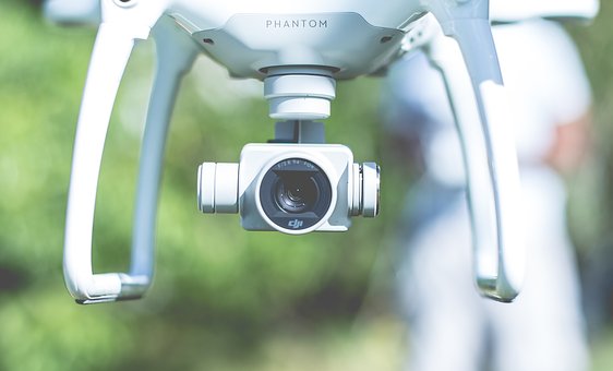
Some preserves are small, just a few acres; others are hundreds of acres with all that nature and the rugged terrain of southeastern Connecticut can throw at us. We have developed a sophisticated ArcGIS mapping technology and are developing drone software to follow the posted waypoints to video our borders. Our drones will fly over sensitive or difficult to access areas such as rocky terrain and wetlands. Walking boundaries sometimes require bushwhacking, so you should come prepared when working in the field.
If you are willing to become part to the Monitoring Team, click HERE. Volunteers must be 18 or older and willing to travel to any property within our service area (roughly New London County). Boundary Walking involves rugged field work, bushwhacking and sometimes wet conditions.