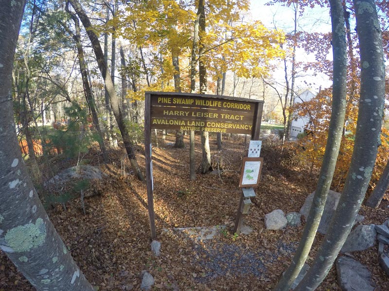
Pine Swamp Wildlife Corridor
Pine Swamp Wildlife Corridor
Town: Ledyard
Maintained Uses: walking, hiking
Difficulty: easy to moderate
Harry Leiser Tract (dark blue trail markers/heads): lollipop loop (straight in with loop to the north of the trail), 0.60 miles round trip
Slosberg-Anderson Woodlands (red trail markers/heads): one-way trail, 0.67 miles one-way (1.34 round trip)
Blue Dot Loop: loop totaling approximately 1.65 miles
Type: network of multiple trails, including a loop
Surface: grass/meadow and packed earth/dirt
Pets: permitted (dogs on leash)
Year Preserved: various
Acres: 321.76
Lat.: 41°26’32.5″
Long.: 72°03’10.8″
Trail Description
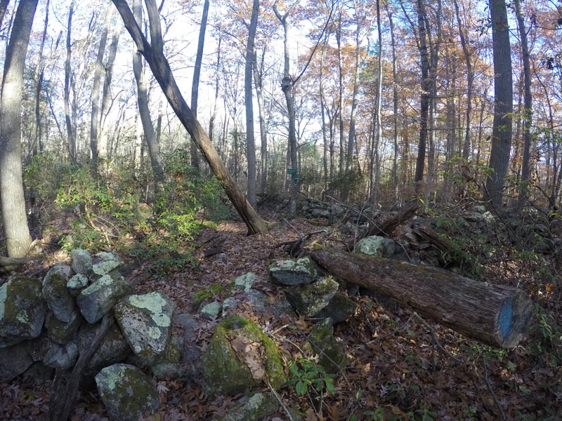
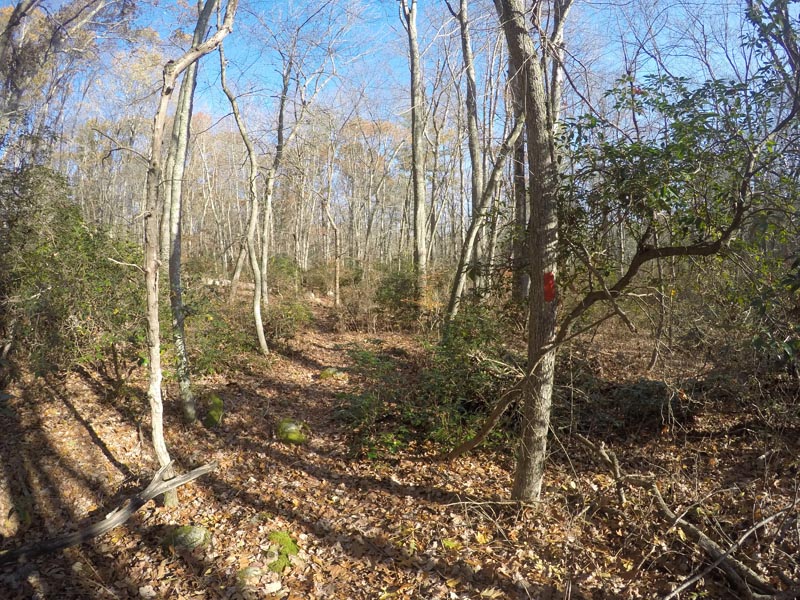
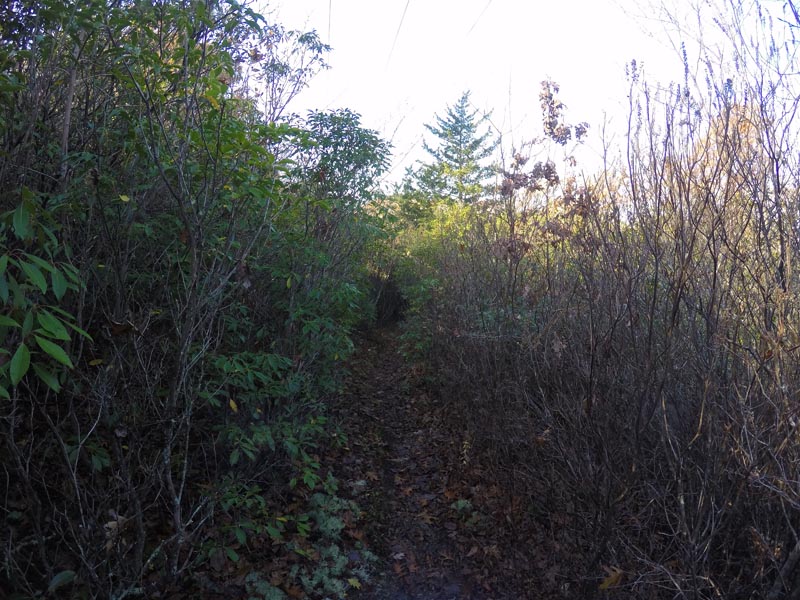
The Pine Swamp Wildlife Corridor offers a diverse combination of hiking trails. The blue-blazed trail in the Harry Leister Tract is an approximately half-mile, lollipop loop (straight trail with a loop located on the northern tip). Parking on the side of Vinegar Hill Road opposite to the entrance, or at Great Oak Park. Starting in a small neighborhood, the trail quickly leads into a dense forest with an understory of mountain laurel and rosebay rhododendron. With an elevation change of only 85 feet, this can be an easy, quick hike, or a slow stroll to observe birds and other animals. The Slosberg-Anderson Woodlands offers a one-way, red-blazed trail that is approximately 1.34 miles round trip. Ample parking is available on Hillside Dr. and Robin Hood Dr. This trail offers a challenge with its exposed roots and rocks, low trees, and short steep hills. The trail skirts the edge of a swamp and crosses the Ledyard moraine before crossing over Robin Hood Drive to connect to the Blue Dot Loop. A section of the trail crosses a spectacular boulder train on a raised boardwalk. The Blue Dot Loop is an approximately 1.65-mile loop that crosses woodlands, shallow brooks, a glacial boulder field, and shrublands along a power-line service road. Several parking locations are located along the Blue Dot Loop. The yellow-blazed trail along the southern boundary of the North Tract parallels, and is accessed from, the blue trail. It traverses wooded wetlands on raised dikes.
More Info
Pine Swamp Wildlife Corridor protects one of southeastern Connecticut’s major aquifers and comprises three major tracts with multiple sub-tracts, as follows:
North Tract, 162.81 acres, comprising:
- Dow Centennial Preserve, 97.17 acres (1997)
- Slosberg-Andersen Woodlands, 55.98 acres (2003)
- Town of Ledyard transfers, 4 parcels totaling 7.46 acres (2005)
- Town of Ledyard transfers, 2 parcels totaling 2.2 acres (2014)
North Tract trails include a two-mile loop trail and a large power line right-of-way. Ponds, extensive swamps, shrublands and upland woods provide habitat for a wide diversity of plants and animals. Gravel roads and low native shrubs along the powerline corridor provide good habitat for eastern cottontails, prairie warblers, blue-winged warblers and other shrubland species. This tract includes the headwaters of Tom Allyn brook and a glacial moraine.
South Tract, 102.11 acres, comprising:
- Slosberg-Anderson Woodlands, 94.24 acres (2003)
- Town of Ledyard transfers, 1.31 acres (2005)
- Town of Ledyard transfer, 6.56 acres (2014)
The South Tract has a long trail along the west side and protects the water supply for western Ledyard. A raised boardwalk with interpretive signs crosses an impressive glacial boulder field.
Harry Leiser Tract, 56 acres (2003).
A separate loop trail is maintained on this tract. The mature forest in this tract supports pileated and hairy woodpeckers and other mature-forest species. This tract is adjacent to extensive mature forest in Ledyard’s Great Oak Park.
Within the Pine Swamp Wildlife Corridor, trails can be accessed via seven trailheads:
North Tract
- 113 Whalehead Road – parking between Stone Court and Avery Hill Road Ext
- Cul-de-sac at the end of Merry Lane
- 21 Friar Tuck Drive & 17 Queen Eleanor Drive – Park under power lines
- 40/41 Robin Hood Drive – Park by open lot
South Tract:
- 40/41 Robin Hood Drive
- Cul-de-sac at the end of Hillside Drive
Harry Leiser Tract:
114 Vinegar Hill Road.
