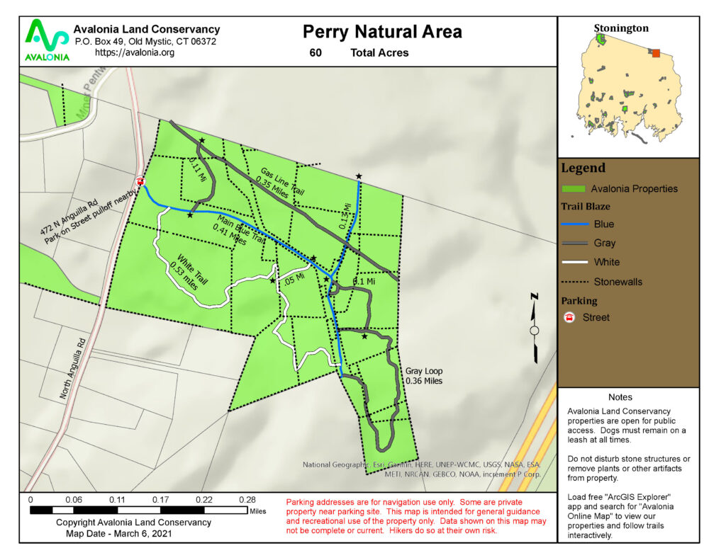
Perry Natural Area
Town: Stonigton
Maintained Uses: walking, hiking
Difficulty: moderate
Length: 2 miles (blue, white, grey marked trails)
Type: network of interconnected trails
Surface: packed earth/dirt, occasional exposed rocks/roots, small board/bog walk
Pets: permitted (dogs on leash)
Year Preserved: 1982
Acres: 68.2
Lat.: 41°24’48.9″N
Long.: 71°52’04.0″W
Trail Description
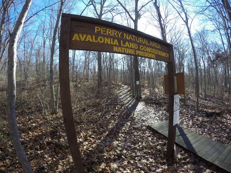
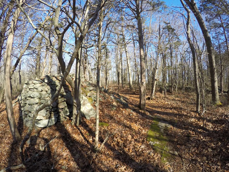
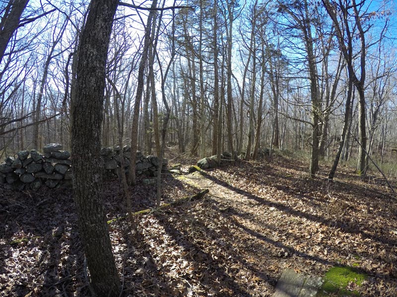
The trail head is located on the east side of North Anguilla Road in Stonington, just south of the North Stonington town line. There is parking for several cars on a roadside pull off. At the entrance to the trail is a short board/bog walk that leads to the well-marked and well-worn blue trail. The trail follows a historic path lined by old stone walls, rock piles of varying sizes and interesting wall formations hinting at past use. Using the well placed maps along the trails it is easy to make the connections to the several side loops. The blue trail heads north through a wetland and off the property but you should follow the trail west down the utility line wet meadow areas. The white and gray trails are easily followed though the blazes may be hard to spot in areas. Each trail offers unique sights, such as the old home and barn foundations, stone wall enclosed paddocks for animals and several large free standing rock piles of uncertain age and origin. There are rock ledges, glacial erratics and, on the gray trail, a small cemetery with some headstones dating to the early 1800s. There is a great deal of local lore associated with this land. Throughout the mixed forest, you can expect to see birds of various types: typical forest nesters, woodpeckers, migrating warblers and an occasional owl. There are the usual small and mid-sized forest mammals as well as rare sightings of bear or bobcats. Pets are permitted (dog on leash). With occasional knolls and exposed rocks/roots, the trails total 2 miles and offer elevation changes of 150 feet with varying trail widths of 3 feet to wide open. This moderate difficulty trail network is sure to inspire and raise curiosity.
More Info
East side of North Anguilla Road. Northern boundary is Stonington-North Stonington town line. Several interconnected loop trails totaling approximately 1.8 miles. Former farmland and homestead with old walls, stone cairns, foundations and an old cemetery. Mostly upland deciduous woods with evergreen grove.
Located 0.1 miles north of Adam’s Garden of Eden (florist and garden center) and .8 miles south of the Rt 184 & No. Anguilla Rd. corner.
Read More
Outdoors with John: Hiking Perry Natural Area