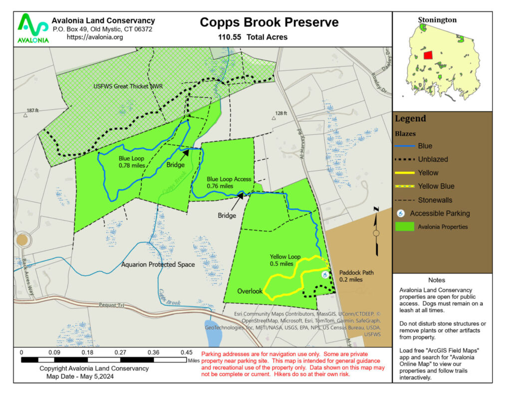
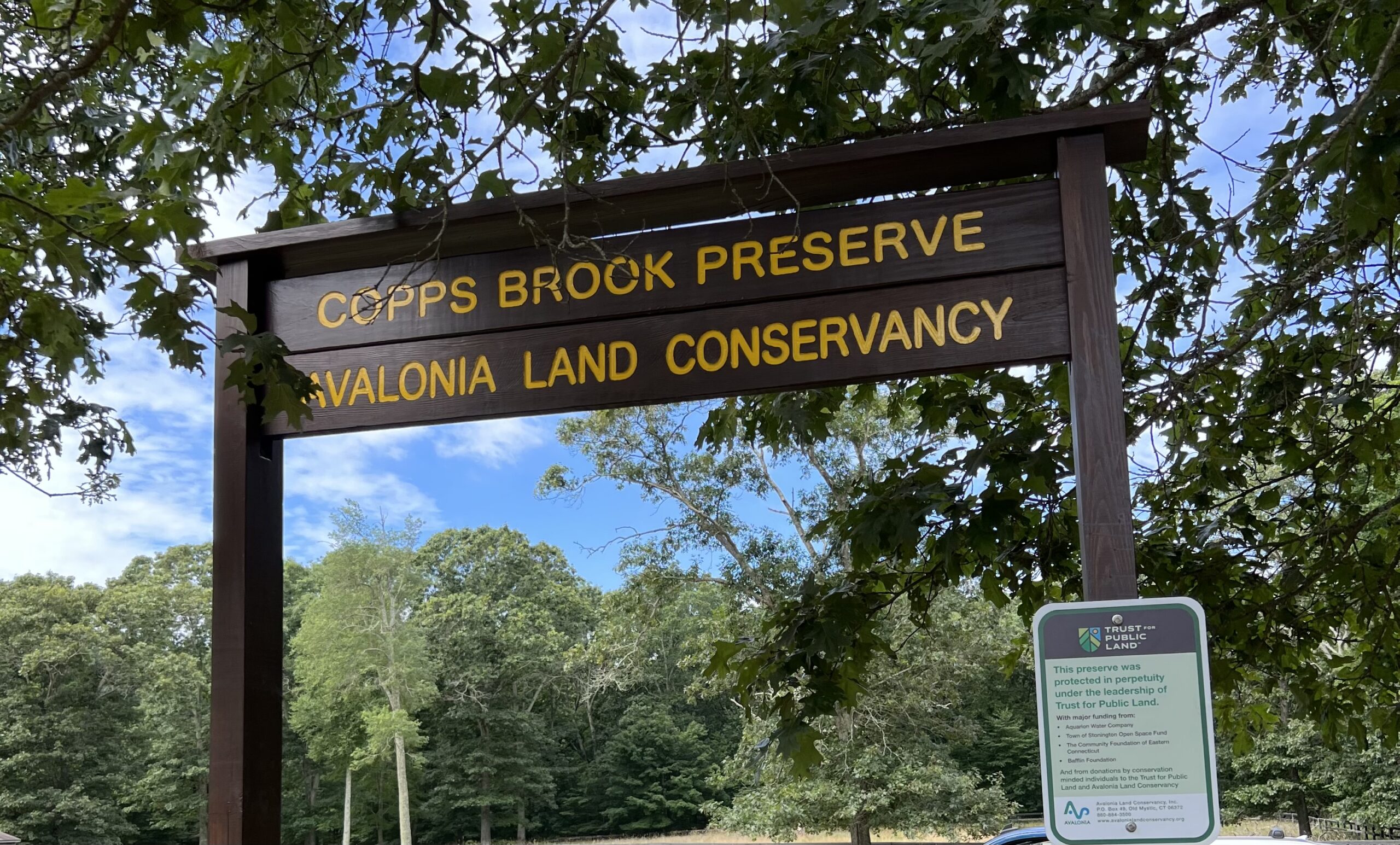
Copps Brook Preserve
Copps Brook Preserve
Town: Stonington
Maintained Uses: passive recreation, bird watching, nature study, photography, hiking
Difficulty: easy to moderate
Length: 4 miles
Type:
Surface: Gravel and wooded with some rocks and roots. Trail around paddock and through meadow is grass. Two board walks/bridges crossing streams.
Pets: Dogs on leash only (dogs not permitted at all on USFWS property)
Year Preserved: 2022
Acres: 103.16
Lat.: 41°23’03.1″N
Long.: 71°55’17.9″W
- Trail head kiosk and interior trail signs are in progress
- Picnic table ADA accessible and benches and seats at overlooks.
- Bridge constructed by Aquarion spans unnamed brook. Copps Brook Bridge has been a cart path and is a lovely brook overlook.
- Trails on USFWS property are not well marked or mapped. Hunting is allowed in the northern portion during hunting seasons. Wearing orange is suggested.
Trail Description
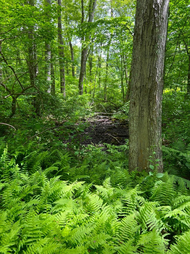
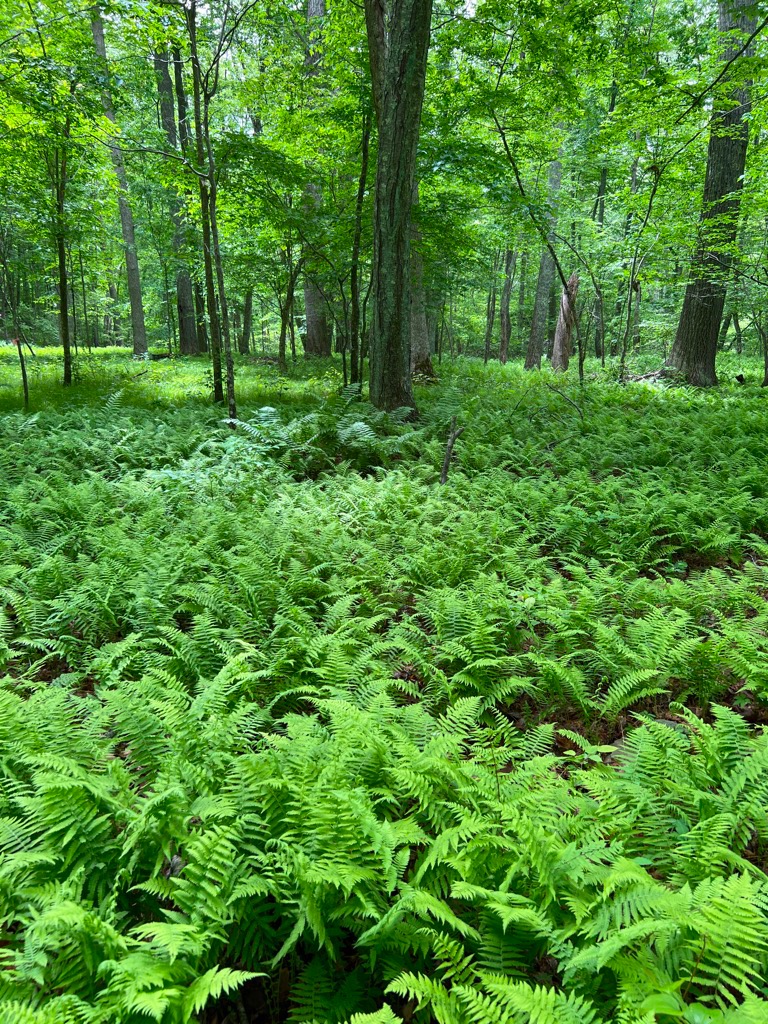
Al Harvey Road, west side of road, north of Rte 234. Wide variety of habitats; including rocky outcrops & ledges, upland woods, forests, and wetlands. Blazed trails, abuts US Fish & Wildlife parcel, some marked trails.
This parcel forms part of the greater contiguous protected area of 235 acres and trails network, which includes the Avalonia owned Copps Brook Preserve (112 acres), the US Fish & Wildlife owned Great Thicket Preserve (103 acres) and the privately owned Merrill-Andrews Conservation Easement (20 acres) which is protected but not open to the public.
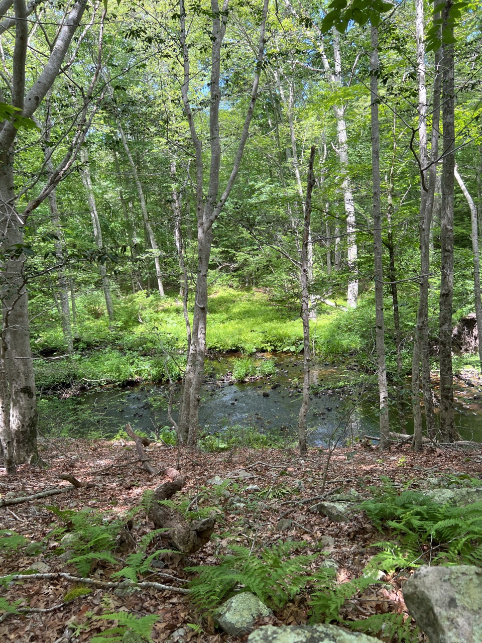
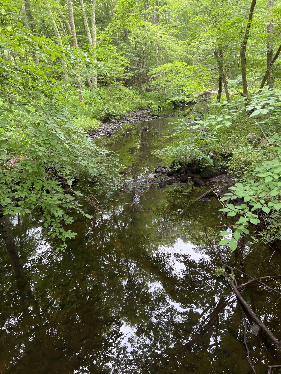
The Copps Brook Preserve is part of a larger greenway which also includes a large parcel owned by Aquarion Water Company. The protected property has a wide variety of habitats, including rocky outcrops and ledges, upland woods of mostly second growth forest, extensive wetlands with typical wetland vegetation and smaller drainages that combine and flow into Copps Brook which is a high-quality cool water stream that benefits cool water species of fish and invertebrates and flows directly into Deans Mill Reservoir. There are several vernal pools and seasonal streams. The woodlands are crossed by numerous old stone walls, and dotted with boulders and glacial erratics, as well as significant rock formations.
Several paddock acres on Al Harvey Road are fields, having been formerly used for pasturage. These provide areas of meadow habitat for insects, birds and a variety of sun loving plants.
Trails: There are two trails through the woodlands and wetlands. The shorter yellow blazed trail is about ¾ of a mile with some elevation changes from the upland ledges overlooking the wetlands to the lower forest areas. (easy-moderate)
The blue blazed trail is longer : round trip over three miles. It descends into wetlands, crossing a bridge and then back up through forests of interesting diversity. This leads to the Copps Brook itself with the stream flow quite variable during the year. From the brook, the trail splits into a loop passing through more varied habitats, ledges, forests and vernal pools. The northern portion of this loop will allow crossover into the USFWS property (NOTE: no dogs allowed on USFWS land). The blue trail returns to the bridge. (easy-moderate)
There is a flat, easily walked trail around the outer perimeter of the paddock area, which winds through the meadow, in front of pollinator area and returns to the parking area. There are (ADA) accessible parking spaces and an accessible picnic area.